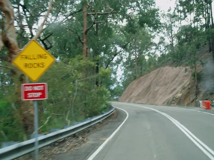
Bells Line of Road
The other road over the Mountains: a sealed ridge-top run from Richmond to Lithgow through apple orchards, botanic garden and sandstone cuttings.
- Distanceabout 80km, Richmond to Lithgow
- Time1hr 30min - 2hrs
- VehicleAny road bike
- Nearest townBilpin
About this ride
Bells Line of Road climbs from the Hawkesbury at North Richmond up Bellbird Hill to Kurrajong Heights, then follows the ridge through Bilpin and Mount Tomah to Bell, where it meets the Darling Causeway. From Bell, Chifley Road continues to Lithgow.
Riders use it as half of the classic Blue Mountains loop: out along Bells Line, back down the Great Western Highway.
Surface: Sealed, two-lane mountain road. Vehicle: Any road bike.
Route map
Mapped length 59.3 km. Route line from OpenStreetMap; distance and grade in the summary are the official NPWS figures where available.
Take this map offline
Phone reception drops out across most of the Mountains. Save the route before you leave town.
GPX opens in Gaia GPS, AllTrails, Organic Maps, Garmin and most navigation apps and shows your live position on the route with no signal. How to use offline maps.How to get there
From Sydney, head to Richmond and cross the Hawkesbury at North Richmond. The road is signposted to Lithgow via Bilpin.
Parking: Regular stops: Kurrajong Heights, the Bilpin orchards and cider houses, and the Blue Mountains Botanic Garden at Mount Tomah.
Finish point: -33.51152, 150.28071 · directions to the end
Good to know
- Fuel at North Richmond, Bilpin and Lithgow.
- Fog and black ice are common above Mount Tomah in winter.
- Weekend mornings are busy with bikes and caravans alike.
Common questions
How long is Bells Line of Road?
Bells Line of Road is about 80km, Richmond to Lithgow and takes about 1hr 30min - 2hrs.
Where does Bells Line of Road start?
From Sydney, head to Richmond and cross the Hawkesbury at North Richmond. The road is signposted to Lithgow via Bilpin. GPS: -33.58423, 150.72365.
Where do I park for Bells Line of Road?
Regular stops: Kurrajong Heights, the Bilpin orchards and cider houses, and the Blue Mountains Botanic Garden at Mount Tomah.
Do I need a 4WD for Bells Line of Road?
Any road bike. Sealed, two-lane mountain road.
Is there phone reception at Bells Line of Road?
Do not rely on it. Download the GPX file or save this page offline before you leave Bilpin.
Sources: OpenStreetMap contributors (route line). Last checked Friday 13 November 2026. Spotted something out of date? Tell us.
Photo: Amanda Slater from Coventry, West Midlands, UK, CC BY-SA 2.0.
